GIS, CAD and LandXML import
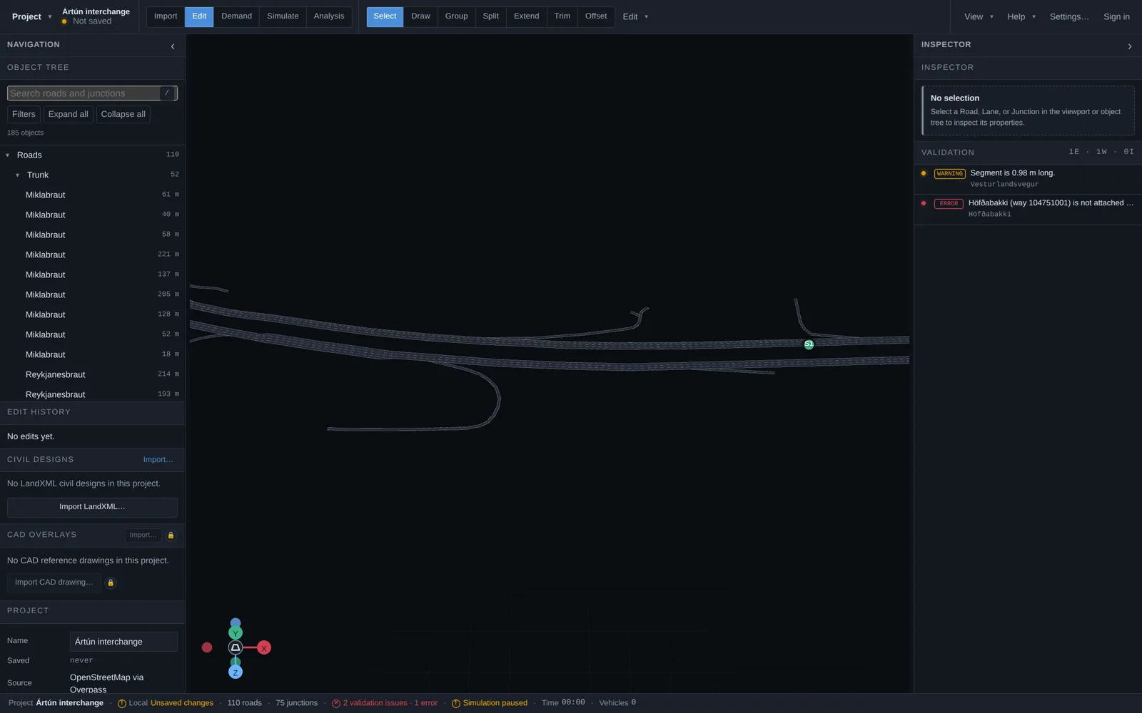
OpenStreetMap is rarely the only source a study needs. Road Mesh also reads GIS vector layers, CAD drawings and LandXML civil designs — each through an explicit, inspectable workflow that ends in ordinary editable roads. These importers live in the Edit-mode side panels and the Import-mode GIS section.
GIS network import
Load road centerlines from GeoPackage (.gpkg, preferred), zipped Shapefile or GeoJSON. The staged wizard reads the layer's coordinate reference system (including WKT definitions), lets you map attribute fields to lane counts, speeds and directions, builds topology from the geometry, and shows a validation report before anything is committed to the project.
GIS files can also be loaded as display-only reference layers (roads, signals, markings, zones) from Import mode, and the road network can be exported back out as GeoJSON or GeoPackage layers.
CAD drawings (DXF)
Import an ASCII DXF drawing as a visual reference in the 3D editor. Position it as a local engineering drawing — confirm units, pick an anchor, adjust translation, rotation, scale and vertical offset — or georeference it via a supported EPSG code. Each overlay keeps per-layer visibility, opacity, color and locking, all saved with the project.
Importing and converting are deliberately separate. When ready, a conversion wizard turns selected layers or individually picked entities into editable roads, with direction, lane count and width confirmed by you — nothing is silently guessed into drivable geometry.
LandXML civil designs
Road Mesh imports a road-focused subset of LandXML 1.x aimed at proposed-road designs: alignments, profiles, cross sections, corridor references and small reference surfaces. The importer surfaces the source application, units, coordinate system and any issues up front — missing units or CRS must be resolved explicitly, never guessed. Map source feature codes to roles such as lane boundary or edge of pavement, confirm the lane topology, inspect the preview, and convert. Committed roads are ordinary editable roads that simulate like everything else.
Design revisions
When a DXF or LandXML source file changes, you do not have to start over: re-import it against the existing conversion and Road Mesh matches the revised source to the roads it produced, shows what changed, and plans a targeted update — so a design iteration lands as a diff, not a rebuild.
Good to know
- GIS and CAD import are included on paid plans; see pricing for what each plan covers.
- CAD import reads ASCII DXF; a drawing stays a reference overlay until you explicitly convert geometry to roads.
- The LandXML importer is not a general LandXML viewer and does not claim complete coverage of the standard.